
Project will broaden access to geoscience data
Each day, millions of geoscience researchers around the world are busy collecting data for various research projects. To use the data collected, many develop specific computational models. These are called ‘long-tail’ data and models because, in total, a large number of researchers collecting relatively small amounts of data will eventually lead to an extensive data trail.
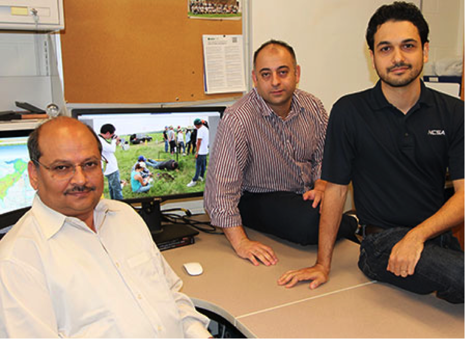
From left, CEE professor Praveen Kumar, CEE research associate Mostafa Elag, and National Center for Supercomputing Applications senior research programmer Luigi Marini are part of a team working to make long-tail data and models easier to use.
The trail represents a potential goldmine for the scientific community. There is, however, one problem: The collections are too distinct. Differences in units, time intervals, locations, and a host of other variables generally make it difficult for researchers — enough so that starting from scratch becomes an appealing option.
This may soon change, though, thanks in part to a project led by researchers at the University of Illinois at Urbana-Champaign, US, and funded by the US National Science Foundation (NSF). The team, led by civil and environmental engineering professor Praveen Kumar, received $1 million to develop a semantic framework to integrate long-tail data and models.
“We’re developing the semantic framework in software so that we can extract all this information from the different data types and different model components and help them talk to each other,” Kumar says. “It cuts down the manual effort that is required in discovering suitable data for a model and converting data. All that could be done automatically.” The effect will be similar to giving scientists access to a translator, adds team member and research associate Mostafa Elag.
“Just as languages have a semantic structure, we need semantic techniques for data,” Elag says. “With French and English, the root language is Latin. They have a similar structure but not the same structure. It’s the same for data and models. They need an interpreter or a translator.”
Initially, the group plans to develop a set of protocols that can ultimately be reduced in software. Researchers will be able to deploy the software to extract information from heterogeneous data sets and models. “Our emphasis is on developing the design of the protocol as much as developing the technology wrapped around it,” Kumar says. “The design of the protocol requires a lot of thought. The design document will require significant effort, community input, and approval.”
The project is part of Earth Cube, a larger NSF initiative involving hundreds of geoscientists. Led by the NSF’s Directorate for Geosciences and its division of advanced cyberinfrastructure, EarthCube’s main objective is to develop a national cyberinfrastructure for Earth system science researchers and educators. The work represents another aspect of what scientists in recent years have come to refer to as ‘big data,’ Kumar says.
“Big data issues are related not just to large volumes of data, but also to large heterogeneities in data,” notes Kumar. “There are millions of people collecting a little data, but when you multiply a little by millions, it’s very large — a volume of data which has not been effectively used for scientific exploration.”
In addition to making long-tail data and models easier for other researchers to use, the project will also shed light on the existence of additional scientific resources, Elag says. “Without this framework, we cannot see what other communities are doing. Through this framework, we will be able to reuse other resources that we are not currently aware of.”
Comments
Post new comment